Hills of Britain and Ireland
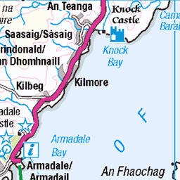
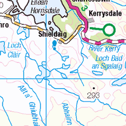
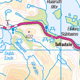
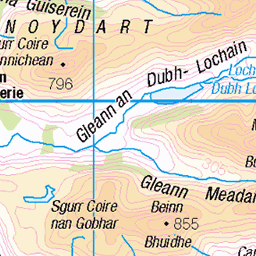
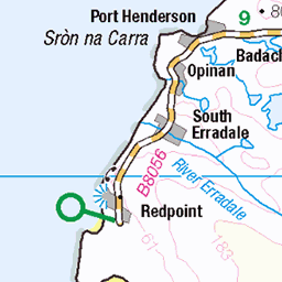
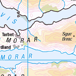
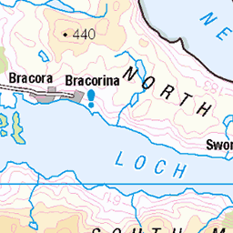
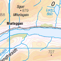
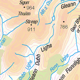
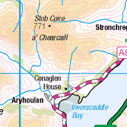
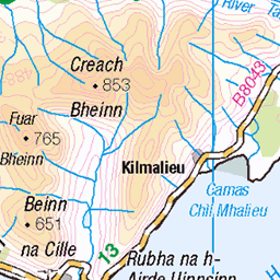
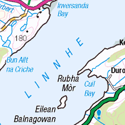
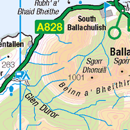
OS Map of Bad a' Chreamha
Height: 395m / 1296ft • Prominence: 256m / 840ft • Summit : outcrop within 2m of trig point • Trip reports (hill-bagging)

Stromeferry
looking south from the north terminus of the ferry. Note the pier on the other side dating from the time that Stromeferry was the end of the railway (from 1875). The pier was demolished in the early 1930s having long been redundant by the railway being extended to Kyle of Lochalsh in 1897. Card posted in 1932. Same view today maps.app.goo.gl/AuZ2xDUS1Y2Q1DAx8" rel="noreferrer nofollow here .
11-Feb-25 • Neil F King • flickr
scotland westerross rossandcromarty lochcarron strome ferry stromeferry postcard 1920s 54321198161


Strome castle
The remains of Strome Castle on the shore of Loch Carron in Scotland.
05-May-24 • OutdoorMonkey • flickr
stromecastle castle outside outdoor lochcarron strome ruin ruined abandoned sea seaside coast coastal scotland highlands westcoast 53730298272

Stromemeanach
One of around twenty-eight ruined buildings that make up Stromemeanach, an abandoned township on the hillside above Loch Carron.
05-May-24 • OutdoorMonkey • flickr
stromemeanach township ruin ruined abandoned rural outside countryside lochcarron wall walls hill hillside outdoor scotland highlands 53731552324
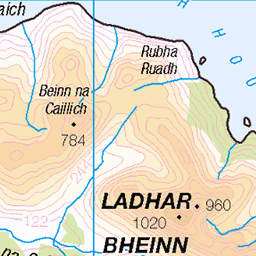
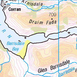
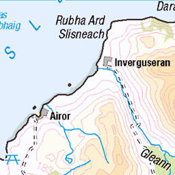
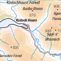
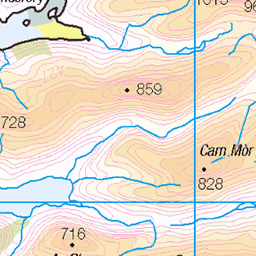
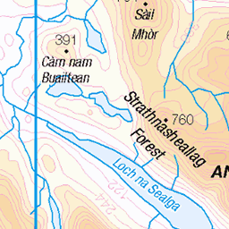
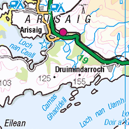
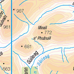
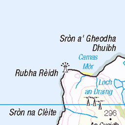
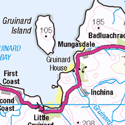
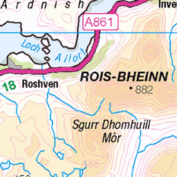
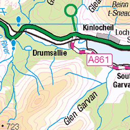
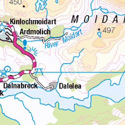
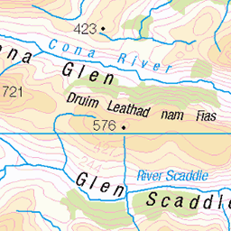
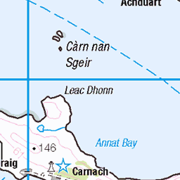
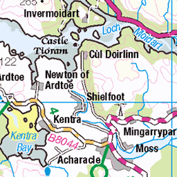
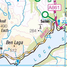
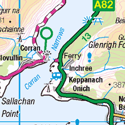
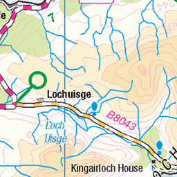
OS Map
This is OS mapping. In some areas, OpenStreetMap shows more footpaths
Spatial NI has online OSNI mapping. Click "Basemap Gallery" (4 squares icon at the top).
Now would be a good time for a cup of tea.


GPX Editor
Record map clicks
Reload map
Photos
Please tag your photos and upload them to the British and Irish Mountains group on Flickr
The other photos have been geo-tagged as on or around the summit. For less busy mountains, it can be a little hit and miss.
Stromeferry
looking south from the north terminus of the ferry. Note the pier on the other side dating from the time that Stromeferry was the end of the railway (from 1875). The pier was demolished in the early 1930s having long been redundant by the railway being extended to Kyle of Lochalsh in 1897. Card posted in 1932. Same view today maps.app.goo.gl/AuZ2xDUS1Y2Q1DAx8" rel="noreferrer nofollow here .
11-Feb-25 • Neil F King • flickr
scotland westerross rossandcromarty lochcarron strome ferry stromeferry postcard 1920s 54321198161
Strome castle
The remains of Strome Castle on the shore of Loch Carron in Scotland.
05-May-24 • OutdoorMonkey • flickr
stromecastle castle outside outdoor lochcarron strome ruin ruined abandoned sea seaside coast coastal scotland highlands westcoast 53730298272
Stromemeanach
One of around twenty-eight ruined buildings that make up Stromemeanach, an abandoned township on the hillside above Loch Carron.
05-May-24 • OutdoorMonkey • flickr
stromemeanach township ruin ruined abandoned rural outside countryside lochcarron wall walls hill hillside outdoor scotland highlands 53731552324

Loch Carron
A view over Loch Carron on the west coast of Scotland, from the hillside near the ruined township of Stromemeanach.
05-May-24 • OutdoorMonkey • flickr
scotland highlands westcoast coast coastal seaside sea ocean outside outdoor nature natural scenic scenery lochcarron forest wood woodland cloud cloudy 53731716375

Typical day in Scotland
Stromemore, Scotland
05-Mar-24 • http://www.paradoxdesign.nl • flickr
stromemore scotland lochcarron sheep animal schotland schottland ecosse escocia scozia 53585512953


Videos
None found
Notes
- Data: Database of British and Irish Hills v18.2
- Maps: We use OS mapping for England, Scotland, Wales, and the Isle of Man. Sadly, Channel Islands, Northern (OSNI) and Southern Ireland (OSI) mapping isn't available online, so we use Openstreetmap.