SWC Maps
Welcome to the SWC's geodata and maps server
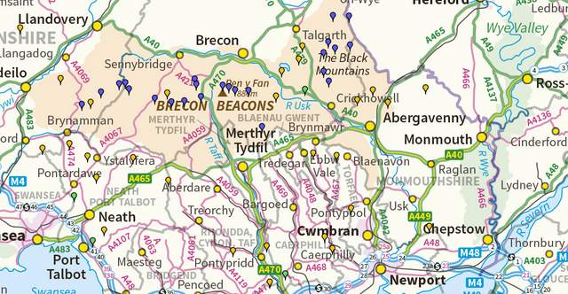
British and Irish hills and mountains
Besides Munros (Scottish hills over 3,000 feet / ~ 1000 metres) and Wainwrights (Lake District hills) are 'Marilyns' and Humps. These are relatively high hills, of which there are many, even in the Southeast.
Maps, photos and videos of 6,000 hills!
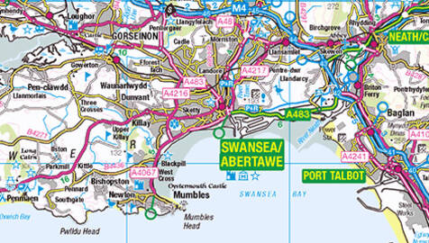
Great Britain Road Atlas
England, Soctland, and Wales - highlights motorways, trunk road and visitor attractions
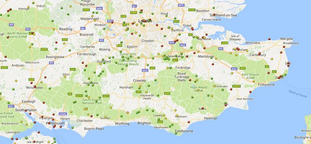
Map of Historic Houses, Gardens and Ancient Sites.
There are 100's of historic site which you can visit. We have a map of all National Trust, English Heritage, and Historic Houses Association properties.
Cheap Fuel Prices
Fuel station map with petrol and diesel prices
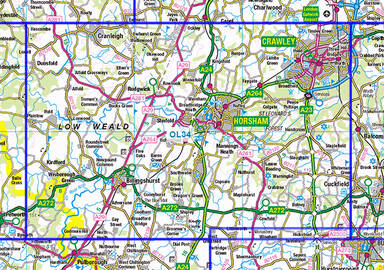
OS Maps
OS mapping showing each Explorer and Landranger map
Wetherspoons and Brewdog
Map of Wetherspoons and Brewdogs pubs
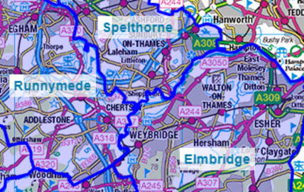
UK Admin Areas
County, District, Ward and Parish maps